Remember I mentioned this song that my mother wrote near the beginning of this trip when Gary, Jena, and I crossed the Umatilla Bridge into Washington state at the beginning of the trip (exactly one week earlier as it now is July 28th.)? Today the plan was to follow that route back to the area of Umatilla before turning southeast for the drive back home. Along the Columbia River is still the best route to go east from Portland. The freeway was closed over the weekend due to some construction projects so my cousins suggested that we circle down and around to miss all of the detours. Traffic was still bad as we weren't the only ones that headed that direction. It worked for us as our first stop was south.
The LDS Portland Oregon Temple
The grounds and the temple were closed as they were doing some work in both places, so these photos were taken only from the parking lot or the street.
Gary and Jena on a bench across from the temple
On the route between Richland and Portland, there was what I remembered as a huge and famous waterfall so that was our next stop. It wasn't quite as huge as my childhood memory made it seem, but still worth the stop.
Multnomah Falls-
The parking lot to see the falls is actually located in the middle of the freeway. This marker was there as well naming this the Blue Star Memorial Highway.
The view of the falls from the parking lot.
This was a very popular spot on a Saturday in July-lots of tourists.
The newer sign....
and the older one which was probably there when I was a child.
As indicated, the fall has two sections--the Upper and the Lower falls. There is a view area near the bottom of the Lower Falls and then you can walk up to a bridge which crosses almost directly over the head of the Lower Falls and see the Upper Falls. There are trails all over the place, but many were closed due to a fire last year and mud slides which have occurred since that time. We were lucky that the trail to the bridge was open, but not beyond there.
Here you can see the bridge from the lower viewing area.
And up we went....
A little tourist traffic jam on the bridge. You have to wait for people to get off so that you could find a place to stand.
The pond at the base of the Upper Falls
Light, trees, water--a magical combination.
And now you can see exactly where we are at on this rail bridge which crosses over the trail back to the parking lot.
This stream comes from the Falls and according to the sign, some type of salmon travels to this area to lay their eggs.
The famous tunnel (which is also mentioned in the song). When we were little, the big thing to do in a tunnel was honk your horn throughout the duration of it. We would always ask my dad to do that and occasionally he would, but he hated the noise of the horns in the tunnel. You never hear that any more--blasting of horns in tunnels--but as a kid, it was part of the trips to Grandma's house and home again.
We always traveled across the Umatilla Bridge into Oregon and along the southern side of the Columbia River. As far as I knew, there was not even a road along the northern route. What we did is watch the trains which traveled along the coast on the Washington side.
But Gary and I like bridges--so when we saw the sign for "Bridge of the Gods" and saw a bridge crossing the river, we decided why not take it across and then come back.
There was actually a long line of cars waiting to do the same thing and while waiting we discover it was a toll bridge as well. So we scrambled to find some cash to pay the toll while waiting in line to just cross the bridge because it was there...that is how we roll on vacations. It was called the Bridge of the Gods because the Native Americans in the area taught that there was a land bridge here crossing over the river for generations, but then it fell and cut off the two sides from each other. Modern geologists say that it is possible there was some type of land formation in the area which might have crossed the river eons ago. Hence the name--Bridge of the Gods.
Despite it's lofty name, it is an ordinary shiny metal bridge-- (and the car in front of us paid part or all of our toll.)
View of the Columbia River with Washington in the background...
Bridge views--
And just like that we are back in Washington. And while our original intent was to circle back and cross the river again, I could see on the map that there was a road along the Washington side that we could travel on, so we decided to travel that way---after all, I had never been that way before.
So off we went on State highway 14.....(my dad smiled when I told him about it. Yes, there had been a road then as well, but it was a small road, up and down and weaving in and out of little towns and villages along the way. Not my dad's preferred route from travel.)
Gary wasn't too fond of it by the end of it either, but we saw some interesting things.
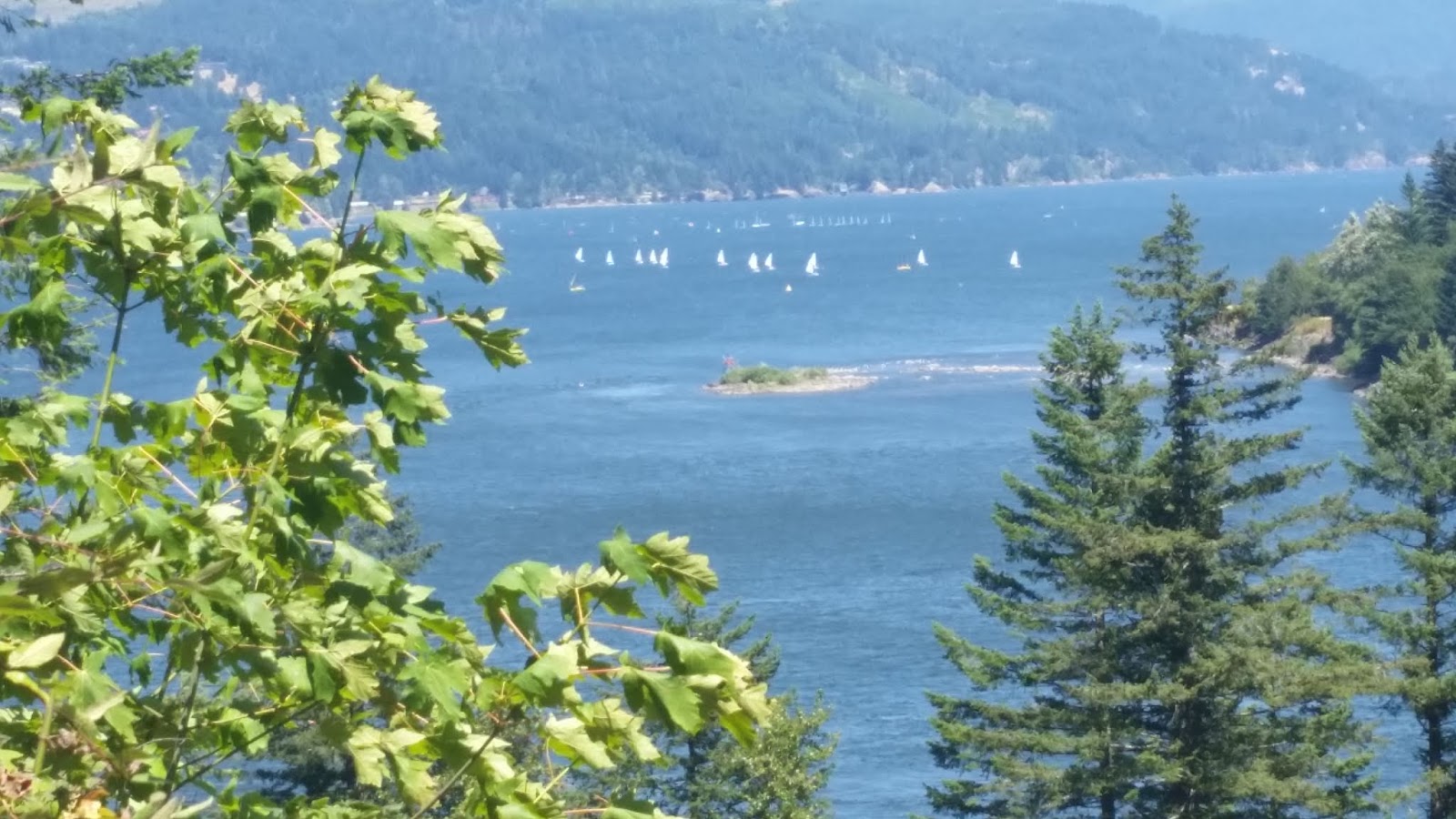
We stopped at the view area for Bridge of the Gods and the river was filled with sail boats. The wind was pushing them back and forth across the river and it was interesting to watch.
There were lots of bridges on this part of the road as there were streams and inlets of the river which has to be crossed. I took this photo of the train bridge, train tracks, and trains to remind my brothers and sisters how our dad would point out a train on the Washington side of the river and asked us to count the cars "in our head." Then when we would tell him our guesses, he would pronounce who was the closest and they were the winner...until another train could be seen and my parents were hoping for some quiet.... it was years before I figured out that my dad was not actually counting the cars and didn't really know the exact number of cars in the train either. Kids---we are gullible like that, especially when your dad is very smart.
Gary told me I should count all of the cars on this train so I could tell my dad exactly how many cars it had--being that close, going in opposite directions at different speeds, that is not an easy task. I got to 40 + before I gave it up.
And there were lots of tunnels as well--one right after another in some spots. We would have loved honking in all of these tunnels.
We stopped here because there were hundreds of people out on the water kitesurfing. It was beautiful to watch but hard to take photos of. All those white things are mostly boards with the kites in the air. I enlarged this photo so you can see it better.
 |
| Jena took this photo of Gary and I watching the kite surfers. |
This photo is from the internet which shows more clearly a rider with his kite. Just imagine that there were hundreds in the river. Never saw that happening when we were kids on the way to grandma's house.
Jena is hanging out in the RV while Gary and I keep watching the kitesurfing.
We passed up and over and down again many little rivers and saw other bridges. We decided to travel on the north route to the bridge right before the Umatilla Bridge--because, you know, I like traveling on new roads and different bridges. Gary is so nice to accommodate my traveling routes.
Notice green trees on both sides of the river....
but almost quite abruptly it changes to the dry arid landscape of the Columbia Basin at the same time on either side of the river.
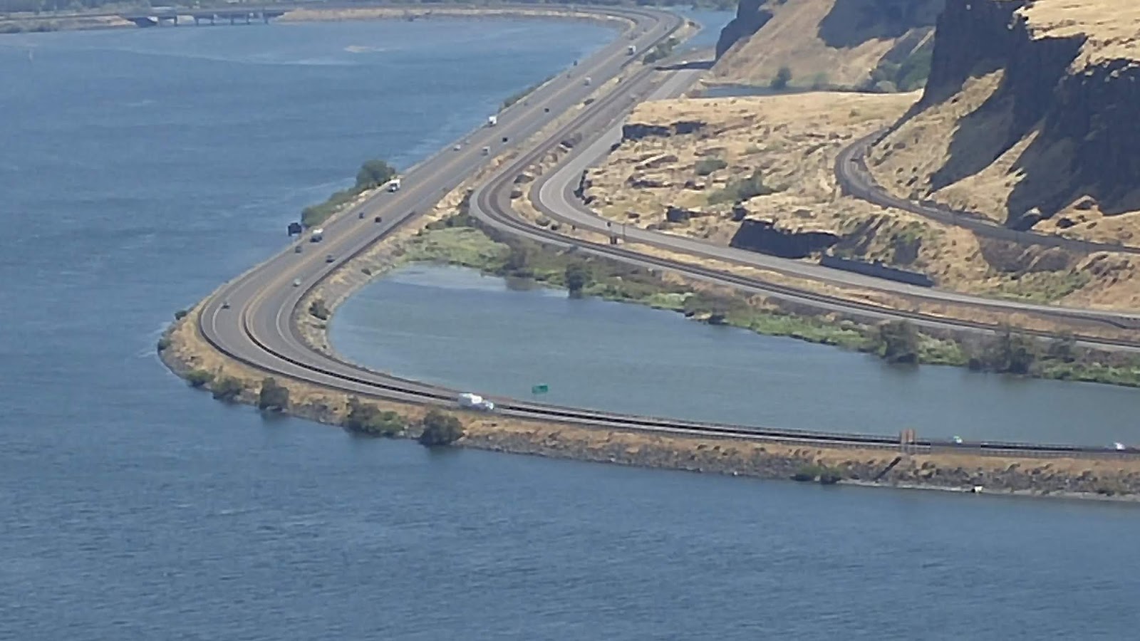
This is the freeway on the Oregon side of the river. 80- miles per hour, mostly straight and flat, few tunnels and passing lanes in both directions....we could be driving that, but no, we were traveling 35 miles an hour on the Washington side.
My paper map had shown a place called Stonehedge near the bridge we were taking back across the river so we decided to stop and see what it was about. A landowner decided to recreate exactly Stonehenge here on the small hilltop of land and he dedicated it to some soldiers who were from the county who died in World War 1. We wandered around for a bit, but it was a very hot spot and a hot day. I had always imagine that Stonehenge was bigger than this, but since I am not sure I will ever see the real one, it was nice to see this re-creation.
View of the river and our bridge back to Oregon between the pillars.
It is interesting what people think of and create or in this case, re-create.
Our bridge back to Oregon and then we began our drive home....
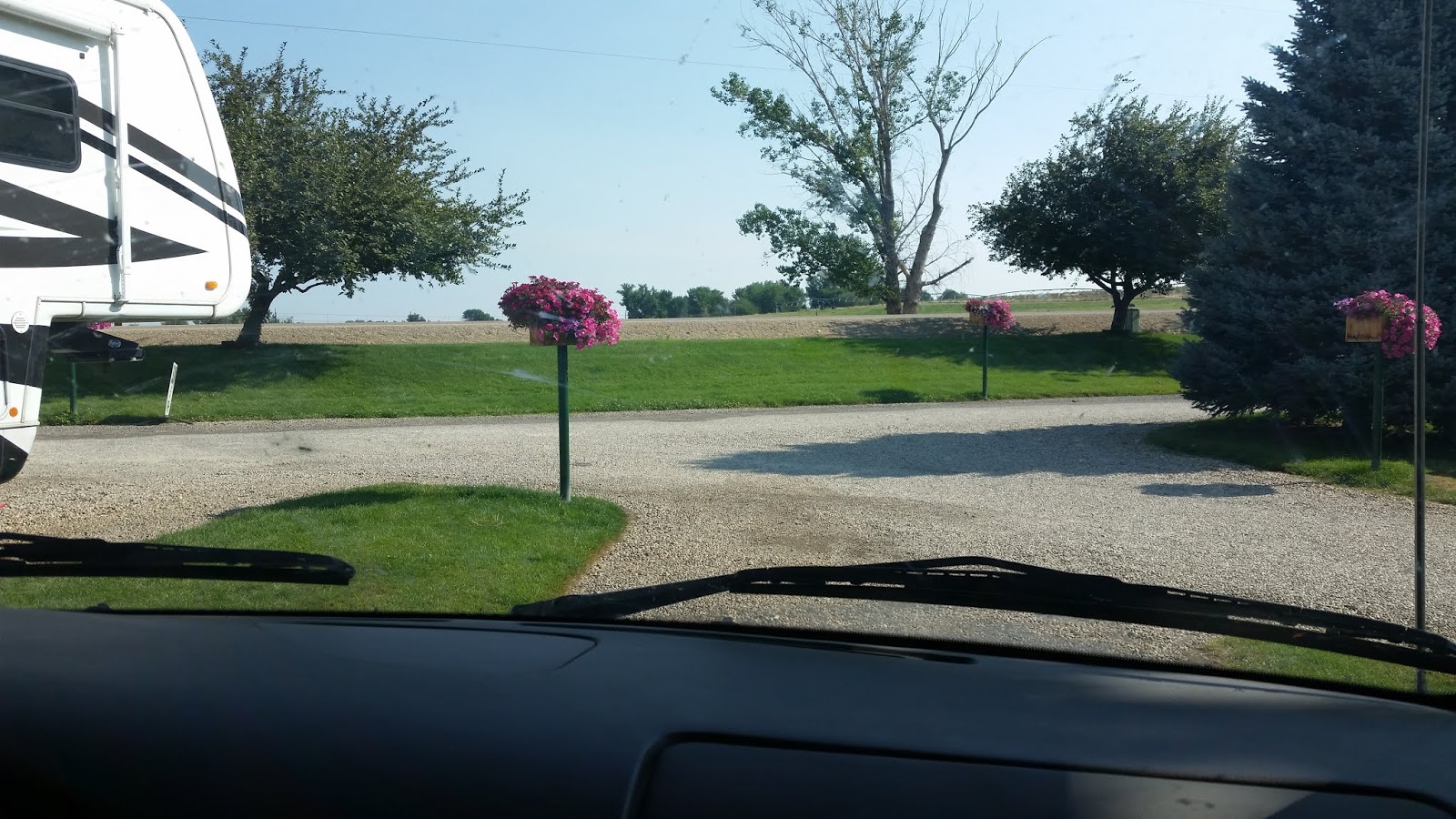
We had not known for sure how far we would get on Saturday so I had not made reservations for our last night and as we were driving, I was really ready to be home and wondered about driving through the night to do that. Gary, on the other hand, was ready to park the RV and relax. Then as we started searching for RV sites, they were full for the night. Google came through again and we found this clean RV park with a very friendly owner who put us on the end of the row in an overflow spot, because they were also full for the night.
Pictures are from Sunday morning... this was located inside the Idaho border for the historical record.
We drove to Boise where we tracked down an LDS chapel and made a 11:00 Sacrament meeting before hitting the road again--this time for home!!
I love to travel, but it is true, there is no place like home as well. And despite taking me about a week to catch up on laundry and life (well, never really catch up with life), it was a wonderful trip and I can't wait to do it again. (Well, not the same trip--but trips in general!!)
Thanks to our family and friends who we visited, for the roads and byways and funny sites along the roads, for beaches and bridges and tunnels. We are so lucky to live in such a beautiful place.
And don't forget, we saw whales!!!!


No comments:
Post a Comment